

Planning for A More Climate-resilient Maluku amid Risks of Sea-Level Rise
More than 90 per cent of Maluku’s territory is ocean, connecting 1,422 islands. With a coastline that stretches 10,915 kilometres, the sea is central to people’s lives – from food sources and livelihoods to transport and inter-island social and cultural affiliations.
This archipelagic geography means that changes along the coast are closely linked to the province’s development. Sea-level rise can affect residential areas, livelihoods, infrastructure and basic services, as well as communities with different capacities to adapt.
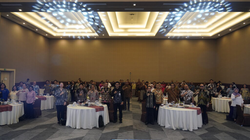
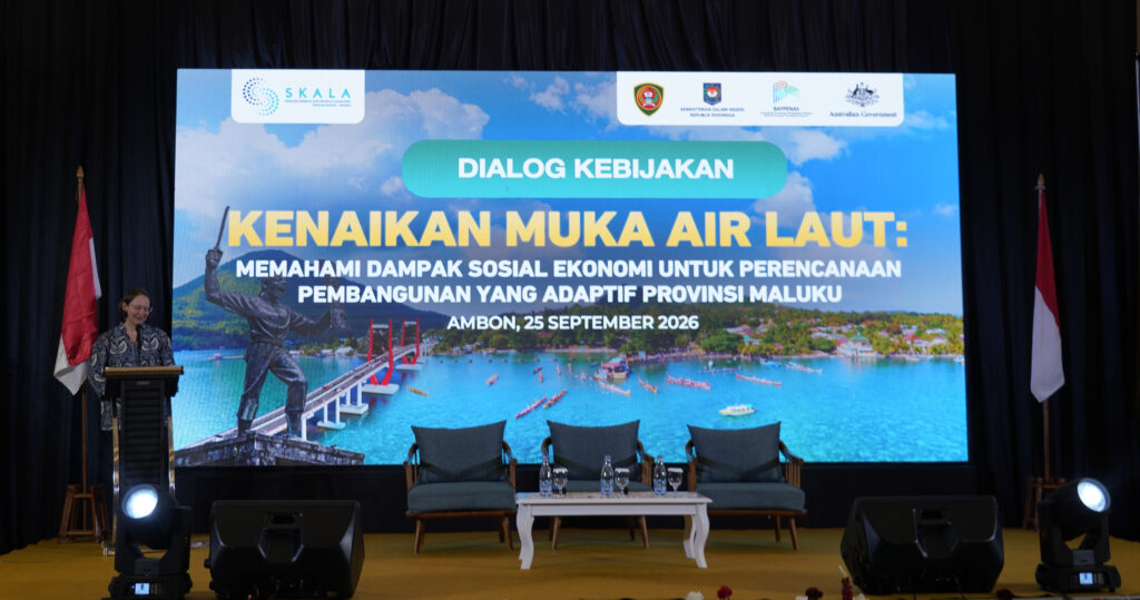
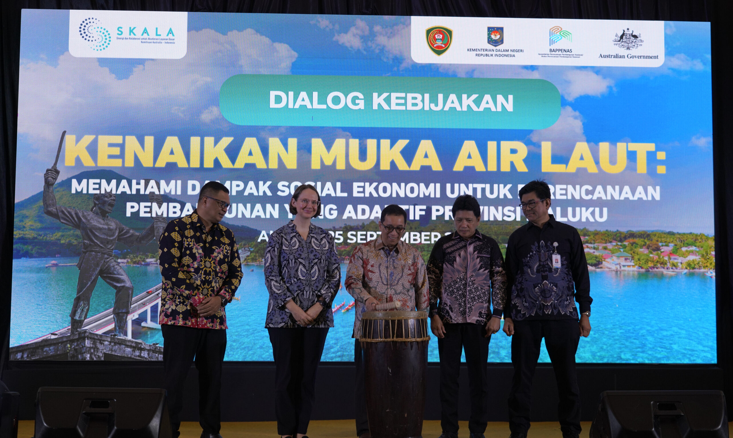
The Maluku Provincial Government is working to ensure that climate risks are increasingly considered in medium- and long-term development planning. This was the key focus of a policy dialogue entitled Sea-Level Rise: Understanding Socioeconomic Impacts for Adaptive Development Planning in Maluku Province held in Ambon on 25 September 2026, convened by the Ministry of National Development Planning/National Development Planning Agency (Ministry of PPN/Bappenas) with SKALA’s support.
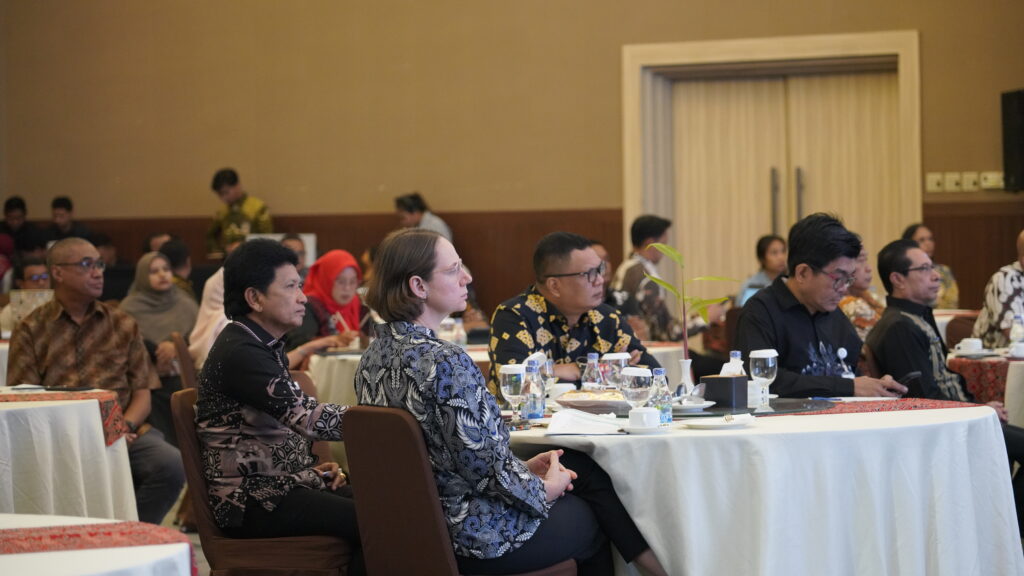
The dialogue brought together representatives from the national government, Maluku Provincial Government, district and city governments, academia and development partners to discuss how data and analysis on the risks of sea-level rise can be better integrated into regional development planning.
At the dialogue, Maluku Provincial Secretary Sadali le said the province’s archipelagic geography created development challenges that differed from those faced in predominantly land-based regions. For people in Maluku, the sea is inseparable from social, cultural and economic life.
“The Maluku Provincial Government continues to encourage development planning that not only focuses on today’s challenges, but can also anticipate future risks,” Mr Sadali le said while delivering remarks on behalf of Maluku Governor Hendrik Lewerissa.
He said that adapting to sea-level rise would be closely linked to how governments planned land use, adjusted infrastructure design, strengthened basic service systems, protected vulnerable groups and built local economies better able to cope with change.
“I hope this dialogue does not stop at discussion, but results in concrete steps to integrate studies on sea-level rise into regional development planning,” he said.
Understanding the risks to development
Vice Minister for National Development Planning/Vice Head of Bappenas, Febrian Alphyanto Ruddyard, said that sea-level rise should be understood as a development issue given its effects extended across many aspects of people’s lives.
According to Mr Ruddyard, achieving the Indonesia 2045 vision will require development planning that increasingly takes climate risks into account. Currently, 319 districts and cities are classified as having very high climate vulnerability, which also applies to about 8.9 per cent of people living in poverty.
“Sea-level rise is not merely an environmental issue. It is a development issue. It concerns people’s lives, the sustainability of our regions and, most importantly, the future of the next generation,” he said.
Climate risks also carry significant economic consequences. Losses associated with climate change are estimated to have already exceeded IDR 100 trillion annually for Indonesia and could rise to IDR 1,300–2,000 trillion by 2029 if development does not properly incorporate climate resilience.[VK1.1]
Experience from several coastal areas illustrates how environmental change can affect communities and the continuity of basic services. In Sayung Subdistrict, Demak District, for example, around 6,600 hectares of land became permanently inundated between 2006 and 2025. Under a one-metre sea-level rise scenario, the affected area in Demak is projected to reach 27,932 hectares and include 334 schools.
Demak’s geographic characteristics differ from those of Maluku. However, its experience demonstrates why long-term risks need to be considered early in the planning process. In Maluku, such analysis needs to reflect an island context in which residential areas, basic service facilities and economic activities are dispersed across many islands.
Data presented during the dialogue showed that under a one-metre sea-level rise scenario, around 33,143 hectares of Maluku could potentially be affected. Eighteen health facilities, 53 education facilities and 36 government facilities are in areas that could be affected, along with an estimated 40,298 people.
Ambon City, West Seram District and Central Maluku District are among the areas with a relatively high proportion of potentially affected residents. Risk analysis also needs to consider groups with more limited adaptive capacity, including older people, people with disability and women-led households.
Climate risks also intersect with existing socioeconomic conditions. In 2026, Maluku’s poverty rate stood at 14.91 per cent, representing around 281,540 people. Conditions vary considerably between districts and cities, reinforcing the importance of adapting policy responses to local circumstances and community needs.
Planning with a longer-term horizon
For local governments, climate information is important for viewing development through a longer-term lens. Schools, health facilities, water and sanitation systems, transport, economic infrastructure and public services need to be planned with consideration for how environmental conditions may change over the next 10, 20 or even 30 years.
This means asking fundamental questions: Will facilities built today remain safe and operational several decades from now? How could changes to the coastline affect people’s access to services? Which groups face greater risks and may require additional attention?
“Adaptive development must begin with our ability to understand change before that change becomes a crisis,” Mr Sadali le said.
The Maluku Provincial Government is encouraging the inclusion of climate adaptation in spatial planning and infrastructure design, stronger basic service and social protection systems, and the development of more resilient local economies.
This approach also needs to be supported by better management of risk factors, including sustainable groundwater management, regulation of boreholes and building loads in coastal areas, as well as the protection and restoration of coastal ecosystems. Mangrove rehabilitation, for example, is critical to strengthening natural protection in coastal areas.
Using data to help government set priorities
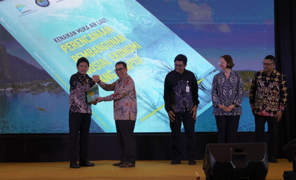
Data is the key to translating risk analysis into development policies and priorities. During the dialogue, the Ministry of PPN/Bappenas introduced a new book entitled Sea-level rise: Understanding socioeconomic impacts for adaptive development planning. The book presents data-driven analyses generated through the Collaborative Planning and Integrated Data Analysis System (SEPAKAT).
It links information on areas potentially exposed to sea-level rise with socioeconomic data, including information from the National Socioeconomic Single Data (DTSEN). By bringing together spatial and socioeconomic dimensions, government can develop a more complete picture of where risks are concentrated, which communities may be affected and which basic services may require greater attention.
Director of Population and Social Protection at the Ministry of PPN/Bappenas, Muhammad Cholifihani, said SEPAKAT could help connect socioeconomic information with risk analysis so that the available data could be used to strengthen development planning.
In Maluku, the use of data needs to reflect both the province’s archipelagic geography and the conditions of its dispersed communities. Head of the Maluku Provincial Development Planning Agency (Bappeda), Anton A. Lailossa, noted that coastal risks needed to be analysed alongside information on livelihoods, connectivity, basic services and socioeconomic conditions.
A more complete picture could help government better understand the nature of risks in each area, identify which communities and services should be prioritised, and determine appropriate adaptation and mitigation measures.
The Maluku Provincial Government is continuing to strengthen the province’s data ecosystem through Lawamena Satu Data. This will create further opportunities to connect different sources of development information and support evidence-based policymaking.
Collaboration to strengthen data-informed planning
Government efforts to strengthen the use of data and adaptive development planning are also supported by SKALA, the Australia–Indonesia partnership program.
Counsellor for Governance and Human Development at the Australian Embassy in Indonesia, Joanna O’Shea, said Maluku’s experience as an archipelagic province offered important lessons on the links between climate risks, livelihoods, connectivity and people’s access to basic services.
“This is why planning based on strong evidence and data is becoming increasingly important. We appreciate Maluku Province’s efforts through Lawamena Satu Data, which are helping to support more measurable and evidence-informed policymaking,” Ms O’Shea said.
She added that strengthening data systems at the subnational level created opportunities to connect national analysis with local data and knowledge, enabling development planning to become increasingly responsive to the conditions and needs of communities.
In this process, the perspectives of communities that may be more vulnerable to the impacts of climate change, including coastal communities and people living on remote islands, will be reflected in planning and decision-making.
“The value of data and evidence lies in their ability to help governments set priorities, sustain basic services and direct resources to the people who need them most,” Ms O’Shea said.
Through SKALA, Australia supports the Indonesian Government’s efforts to strengthen the use of data, planning, budgeting and governance, as well as to deliver inclusive basic services.
For Maluku, using data on sea-level rise will help translate long-term risks into development decisions made today. By understanding which areas, services and communities may be affected, government has a stronger basis for setting priorities and ensuring that development across the province’s islands becomes increasingly adaptive to climate change.