Gorontalo Strengthens Local Data Governance through Sectoral and Geospatial Data Integration

The Government of Gorontalo Province has again demonstrated its commitment to strengthening data governance. Through cross-agency collaboration, the Provincial Government held a Workshop on Strengthening Sectoral Statistics and Geospatial Data Provision. Through a cross-agency workshop, the government enhanced the capacity of sectoral statistics managers within local government agencies (OPD) and improved the provision of geospatial data to support the Gorontalo Satu Data (GSD) system. This capacity building effort followed a study visit to Aceh in June, led directly by the Vice Governor of Gorontalo, to learn about the implementation of the One Data initiative. One Data Indonesia (SDI) is the national strategy to strengthen data use in government planning and decision-making. The visit was supported by SKALA, the Australia–Indonesia Partnership Program for Accelerating Basic Services.
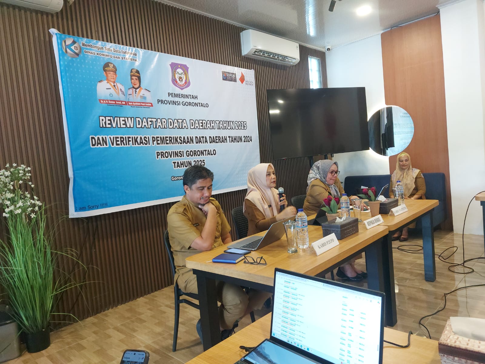
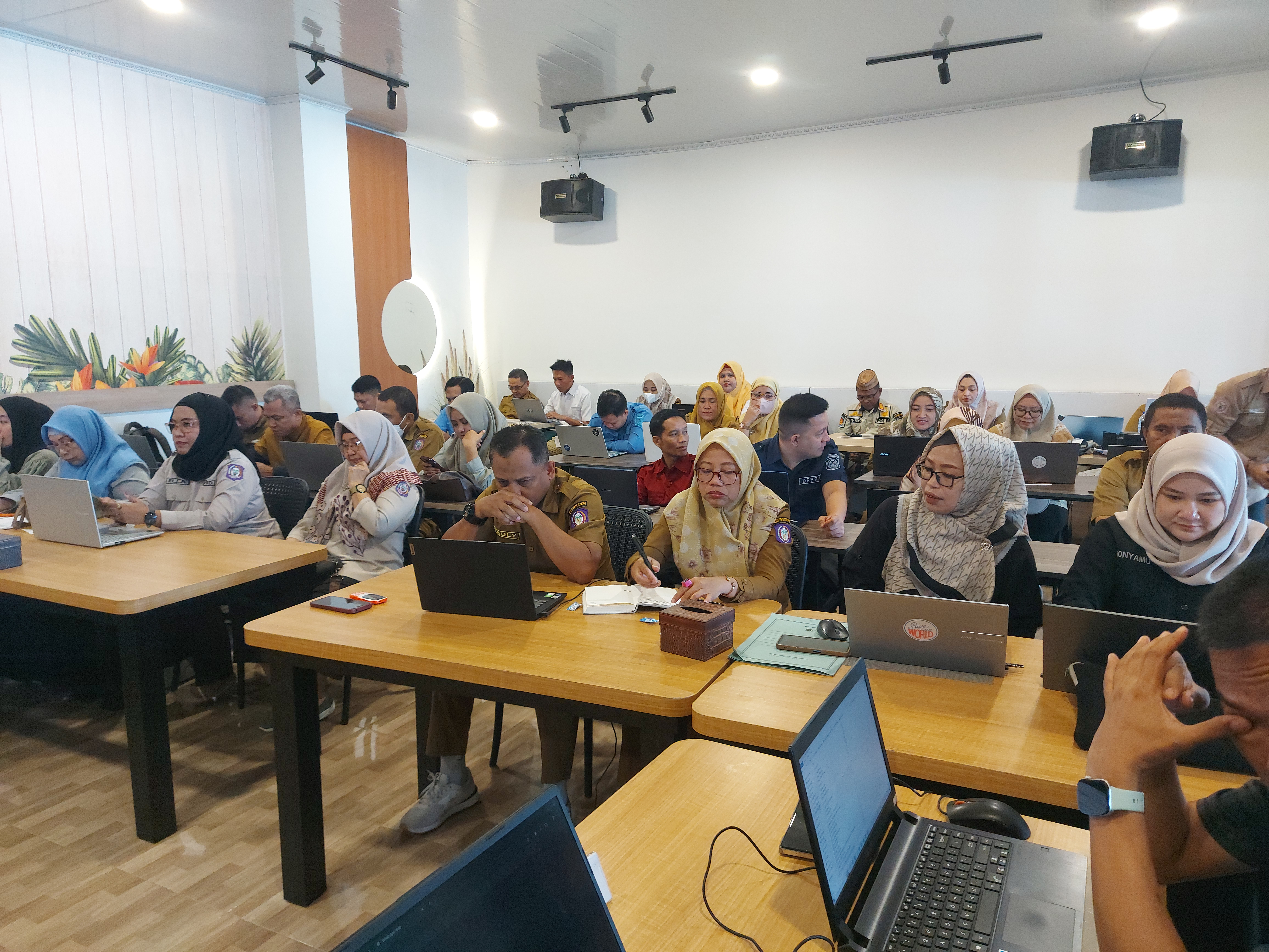
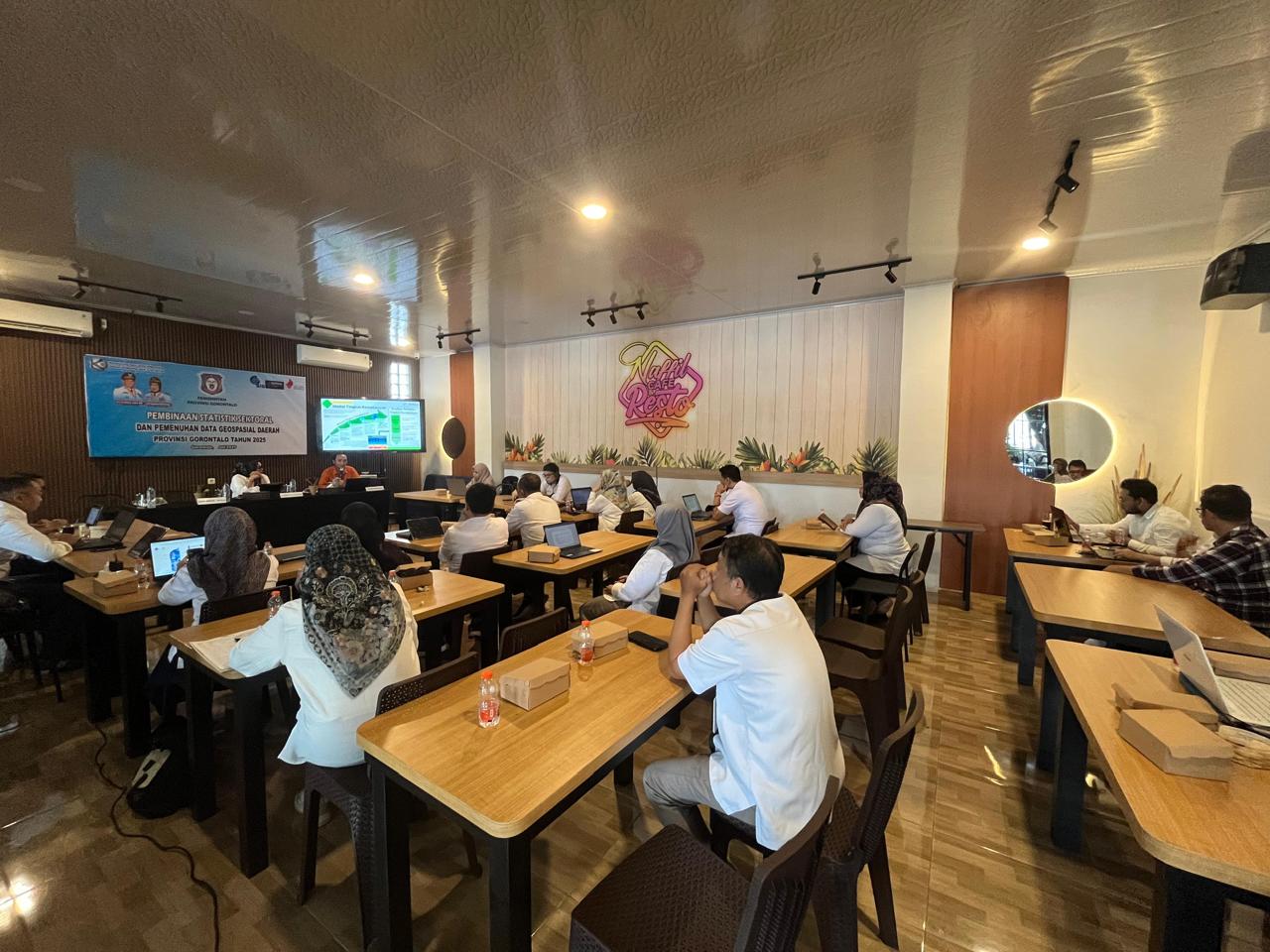
The Workshop on Sectoral Statistics Strengthening and Geospatial Data Provision was held on 16–18 July 2025 in Bone Bolango. Organised by the Provincial Office of Communication, Informatics, and Statistics (Diskominfotik) in collaboration with the Gorontalo Provincial Office of Statistics (BPS), the Geospatial Information Agency (BIG), and the Centre for the Development of Geospatial Information Infrastructure (PPIIG), the workshop focused on enhancing the capacity of OPD representatives responsible for managing sectoral data and statistics, and on supporting the provision of spatial data to strengthen the Gorontalo One Data (GSD) system.
Strengthening Capacity and Synergy in Spatial Data Management
Debby I. M. Habibie, Head of the Statistics Division at Gorontalo Province’s Diskominfotik, emphasised that this effort centres on advancing the principles of Indonesia’s One Data (SDI) policy. She said it is not merely a concept, but a foundation for collaboration that helps ensure sectoral data is managed in a reliable, integrated, and sustainable way.
“The application of SDI principles, such as data standards, metadata, interoperability, and reference codes, must be a key concern for every agency when managing sectoral data,” Debby said.
She also noted the importance of integrating statistical and geospatial data, explaining that combining numerical data with location-based information is crucial to ensure development policies – especially those targeting specific areas – are informed by comprehensive and accurate data.
The Office of Agriculture and Food Security and the Office of Marine and Fisheries were the first agencies to receive sectoral statistics mentoring. Together with the Food Security and Social Affairs Offices, they also served as pilot partners for spatial data assistance. The process began with needs assessments and data inventorying, including reviews of data structures.
These efforts support the implementation of the new Governor’s Regulation (Pergub No. 29 of 2025), which aims to strengthen the role of local agencies in producing accurate and accountable data.
The mentoring focused on strengthening capacity and collaboration across agencies. Participants from data-producing agencies, including Agriculture, Marine and Fisheries, Social Affairs, and Food Security, received in-depth technical training on spatial data entry and alignment. This was a critical first step in enabling each agency to contribute quality location-based data.
Discussions also explored ways to speed up the availability of integrated sectoral thematic maps aligned with the national geospatial information system. These maps provide sector-specific insights to support informed analysis and decision-making.
“Spatial data provides not only locational information, but also the distribution and relationships between geographic features. This information is crucial for planning, monitoring, and evaluating development programs,” Debby said.
A Shared Commitment to Accurate and Accountable Data
SKALA Program supported the workshop by helping to improve spatial data attributes and strengthen documentation for sectoral statistics. The aim was to enhance the quality of metadata and ensure that spatial information is standardised and meets cross-sector needs.
To better support inclusive development and respond to local needs, SKALA Program fostered a more systematic technical approach. This helped local agencies convert their data into clear spatial formats, making it easier to use for evidence-based, area-focused planning.
This collaboration extended beyond technical training. Agencies are now expected to identify and share spatial data in line with their mandates, and to work closely with BIG. This cooperation is key to ensuring high-quality, integrated geospatial data at the subnational level. Spatial data processed by pilot agencies in Gorontalo has already been published through the Gorontalo Provincial One Map Portal, which links directly to BIG and the Indonesia One Data Portal.
“This is a crucial part of strengthening local government data governance and accelerating the availability of accurate, up-to-date, integrated, and accountable data—as mandated by the national One Data Indonesia policy,” Debby concluded.
The commitment reaffirms that collaboration is the key to producing transparent and accountable government data.
Next Steps: Towards a Demonstration to Provincial Leadership
As a concrete follow-up, spatial data mapping and entry results from the local agencies will be presented to the Governor of Gorontalo at the Provincial Command Centre. This demonstration will showcase the government’s readiness to integrate sectoral and spatial data more strategically and in real time.
Beyond demonstrating technical capacity, the event is also intended to reinforce provincial leadership in promoting the use of data as a foundation for sound policy and planning.
The collaboration between local agencies, BPS, BIG, and partner programs such as SKALA illustrates that data transformation is not only a technical issue, but also a shared commitment to transparent and collaborative governance. By strengthening its local data system, Gorontalo Province is laying the foundation for better planning and provision of basic services, ensuring that infrastructure improvements and coordination ultimately deliver tangible benefits to communities across the province.


